
– iPhone weather app has secret hidden function
– Snow and floods to last throughout January
– The weirdest things that fell from the sky last year
- 7:31, 13 Jan 2022
- Updated: 7:31, 13 Jan 2022
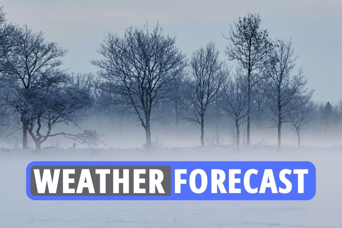
THE Met Office has issued a yellow weather warning for ‘dense fog patches’, which are set to last until 11am today in parts of central and southern England.
Ahead of the warning, the Met Office has advised people to expect slower journey times – with the possibility of delays to bus and train services, and delays or cancellations to flights.
The UK Health Security Agency (UKHSA) has put a Level 2 cold weather alert in place amid a risk of freezing conditions from this Thursday until next Monday.
Temperatures are set to plummet as low as -4C (24F) in parts of the country.
Read our weather live blog for the latest news and forecasts
-
Weather for today
Much of England, Wales, and Northern Ireland will be dry tomorrow with bright or sunny spells.
However, a few areas of fog may linger in places, especially across southern and central England.
Cloudier for Scotland with patchy rain in the west. Winds will be light for most, breezier in Scotland.
-
Why flight delays are more likely in winter
The Met Office says: “Fog, snow, ice and crosswinds mean that air traffic controllers have to increase the gap between planes that are landing, reducing the number of aircraft that an airport can manage.
“The same weather can make it slower and more difficult for the planes to taxi between runway and terminal building. As many commercial flights are cruising more than five miles above the ground, they can be affected by different weather than we are experiencing on the ground.
Safety is always the first consideration for the aviation industry. An aircraft that’s stood overnight in freezing weather will need de-icing before its first flight in the morning.
“That’s a fairly big task for one plane but imagine the task at Heathrow on a snowy January morning. At the same time there are miles of taxiways and runways to clear.
“Then think about the people who do this work getting to the airport – the same snow and ice are probably affecting the roads and railways.”
-
Late January to early February forecast
Conditions expected to remain broadly unsettled and changeable through this period with occasional spells of wet and windy weather moving across from the Atlantic.
Western and northwestern parts likely to see the wettest and windiest conditions overall whilst eastern and southeastern parts probably seeing the most of any drier spells.
Temperatures likely to be slightly above average overall throughout but there remains a possibility of short-lived colder spells.
Colder spells likely to bring a risk of snow at times, though mostly over high ground in the north.
-
This month will see drop in temperatures, says Met Office expert
Met Office forecaster Craig Snell said the average temperature in December and the beginning of January is usually around 7C or 8C, with the warmer weather due to a south-westerly wind making its way across the country.
The higher temperatures are usually localised, but “plenty of places” have seen highs of 15C over December.
However, he added that January could see a drop in temperatures because of an Arctic chill sweeping through from next week.
-
UK weather outlook for Friday and Saturday
Dry for much of the UK on Friday, but parts of northern and western Scotland will have patchy rain.
Spells of sunshine in places, but areas of low cloud and fog may linger, and are likely to be more extensive that on Thursday.
Dry for much of the UK on Saturday too, but with a fair amount of cloud.
-
Level 2 cold warning
A ‘LEVEL 2’ cold alert warning has been issued for parts of Britain while flights could be cancelled as thick fog sets in.
The UK Health Security Agency (UKHSA) issued the level 2 alert on Tuesday while asking people to “look out for those most at risk” from the effects of cold weather.
Forecasters said this could see “slower journey times” to bus and train services and “delays or cancellations to flights”.
Experts have advised Brits to look after those most vulnerable to the cold.
-
Advice for drivers whilst travelling in the fog
- Avoid travel if possible
- Drive very slowly with dipped headlights, full-beam lights reflect off the fog causing a ‘white wall’ effect
- Keep an eye on your speed, fog can give the illusion of moving in slow motion
- Use fog lights, but remember to turn them off when the visibility improves
- Don’t hang on the tail lights of the car in front, rear lights can give a false sense of security
- Watch out for freezing fog which is made of water droplets that freeze on contact with objects such as the pavement, road, car, etc. It can quickly form a layer of ice.
-
Met Office: Freezing conditions to come round quickly
The Met Office said conditions are surprisingly mild for the time of year but that Brits should expect freezing conditions to come around very quickly.
Met Office forecasters are predicting dull and dreary days before the brutal drop in temperature heading into next week, with London temperatures lower than Scotland.
While mild spots are expected across the UK, with London and Edinburgh peaking at 10C, the sudden plummet will leave people feeling frosty this weekend.
But the big freeze will hit the whole of the UK from Wednesday onwards with temperatures dropping as low as 0C in London.
-
£100 for not wearing correct shoes whilst driving in the winter
Thicker boots may keep your feet warm in the snow but they could get you into trouble and you with a heavy fine if you drive in them.
While wearing inappropriate shoes to drive isn’t technically illegal, careless driving due to unsuitable footwear can get you into trouble.
Rule 97 of the Highway Code states that before heading off on a drive, you must ensure that “clothing and footwear do not prevent you using the controls in a correct manner”.
If you are stopped by the police for careless driving and they decide your footwear caused the problem, you can face up to a £100 on-the-spot fine plus penalty points on your licence.
If you do need heavier boots for snow or cold weather conditions when you’re out and about, it’s best to take an additional, safer pair of shoes to drive in too.
-
What can happen in an Arctic Blast?
When temperatures are below freezing and wind chills plunging to 35 degrees below zero during an Arctic Blast travel is very dangerous.
Freezing rain, sleet, and black ice can occur when this weather occurrence strikes.
When this winter blast occurs it often brings record-breaking cold fronts and snowfall with it.
Prior to an Arctic Blast below are some things to do in order to prepare:
- Schedule a furnace inspection to ensure your heat system will work
- Fix up drafty areas in your home
- Close your curtains
- Prepare for a power outage
- Ensure your pets have their food, medications, and whatever else they might need
-
Frost and Fog due to set in this week
Frost and fog is set for the latter end of the week, with freezing fog rolling across England and Wales, a spokesperson for The Met Office said.
The forecaster told The Sun: “We’ve seen pretty much an average start to the month in terms of rainfall, we’re running at about 30 per cent of the average rainfall – we would usually expect to be at that value.
“But high pressure building and fog will be the main problem.
“It looks quite nice around the middle of the week, and Wednesday could be quite sunny – but there is an increasing risk developing of freezing fog on Thursday and Friday.”
-
How to stay warm when outside
With the weather getting chillier and frostier, you’ll want to wrap up warm.
Here are some good tips for staying all snugly and cosy when outdoors:
- Prewarm your clothes.
- Invest in some quality thermals.
- Fleece leggings.
- Hand warmers.
- Cover every inch of skin.
- Eat fatty foods.
- Thermal flask.
- Keep moving.
- Keep hydrated.
- Keep your head covered.
- Tactical scarf-wearing – including keeping your nose and mouth covered
-
Odds slashed on January being wettest EVER
Ladbrokes have slashed the odds on this month going down as the wettest January EVER.
Having been a 4/1 shot last week, the bookies now make it just 5/2 for this month to enter the record books, with flood alerts being issued across the UK.
Alex Apati of Ladbrokes said: “There’s every chance this month breaks January records for all the wrong reasons, with more miserable weather on the way.”
-
When is it too cold to go to work?
Snow and ice have reappeared across Britain after a record mild spell to start the new year.
And though everyone loves a snow day, there’s unfortunately no guarantee of a day off school or work just because it’s snowing.
There is also no specific law around minimum or maximum working temperatures, although there are guidelines.
If it is safe and reasonable to travel to work, then you should do so.
But if it isn’t safe, contact your employer and check the company handbook.
Keep in mind that government guidance in all four UK nations currently advises you should work from home if it’s practical, too.
-
Forecast for January 12-21
High pressure is expected across southern and central parts of the UK at the start of this period, bringing settled conditions and light winds, though it’s likely to be rather cloudy in some areas.
Temperatures will be generally around average, but there is a risk of some colder nights with local frost and fog.
Spells of rain, drizzle and stronger winds are likely further north, with temperatures near to or slightly above average here.
Confidence decreases through the period, but a return to generally more unsettled conditions across the UK is likely later on, with western and northwestern parts expected to continue to see the wettest and windiest weather.
Temperatures likely to remain around average.
-
How will the month end?
Conditions expected to remain broadly unsettled and changeable through this period with occasional spells of wet and windy weather moving across from the Atlantic.
Western and northwestern parts likely to see the wettest and windiest conditions overall whilst eastern and southeastern parts probably seeing the most of any drier spells.
Temperatures likely to be slightly above average overall throughout but there remains a possibility of short-lived colder spells.
Colder spells likely to bring a risk of snow at times, though mostly over high ground in the north.
-
Weather outlook for 25th of January to the 8th of February
A more unsettled regime is most likely during late January and into early February with spells of wet and windy weather followed by brighter but showery interludes.
Northwestern areas are likely to be wettest with southern and eastern areas seeing the best of any drier interludes.
Overall temperatures are most likely to be near or a little above average though some colder interludes are possible.
Snow could fall to lower levels at times in any colder interludes but is most likely over higher ground in the north.
-
Thursday forecast for Manchester
The Met Office forecast for Manchester on Thursday says “southern areas will see frost and fog lift to leave a fine day with some sunshine.
“Further north it will be breezy with patchy low cloud lingering throughout the day.
“Maximum temperature 7 °C.”
-
Minimum temperatures of -3 TONIGHT
Minimum temperatures could drop to as low as -3 in some part of the country overnight tonight.
The Met Office tweeted: “Cloud making all the difference tonight
“Where skies clear we will see #frost and #fog.
“Where clouds remain it will stay #mild”
-
Deep freeze sees bookies cut odds on January being coldest EVER
LADBROKES HAVE ONCE AGAIN slashed odds on this going down as a record-breaking cold January.
Having been a 5/4 shot earlier this week, the bookies now make it just 6/5 for this month to play host to the coldest January EVER, with a deep freeze on the way.
Alex Apati of Ladbrokes said: “Things are set to get a whole lot worse on the weather front, with a record-breaking cold January potentially on the cards.”
-
What is the penalty for leaving your car with its engine running?
If you are caught by police while using this method, you will be given a fixed £20 fine – or £40 if not paid within a certain time frame.
But never mind the police, leaving the engine going to warm it up or defrost your windscreen while you pop back inside makes your vehicle the ideal target for opportunistic thieves.
Should your car be stolen in this way, it is more than likely your insurance company will refuse to pay out on your loss, as you have invalidated your insurance by acting in a way which significantly increased the risk of your car being stolen.
Instead, try other ways of defrosting your windscreen, such as poring a solution of water with a teaspoon of salt over any icy areas.
-
£100 fine for wrong footwear when driving in the winter
Thicker boots may keep your feet warm in the snow but they could get you into trouble and you with a heavy fine if you drive in them.
While wearing inappropriate shoes to drive isn’t technically illegal, careless driving due to unsuitable footwear can get you into trouble.
Rule 97 of the Highway Code states that before heading off on a drive, you must ensure that “clothing and footwear do not prevent you using the controls in a correct manner”.
If you are stopped by the police for careless driving and they decide your footwear caused the problem, you can face up to a £100 on-the-spot fine plus penalty points on your licence.
If you do need heavier boots for snow or cold weather conditions when you’re out and about, it’s best to take an additional, safer pair of shoes to drive in too.
-
Late January to early February forecast
Conditions expected to remain broadly unsettled and changeable through this period with occasional spells of wet and windy weather moving across from the Atlantic.
Western and northwestern parts likely to see the wettest and windiest conditions overall whilst eastern and southeastern parts probably seeing the most of any drier spells.
Temperatures likely to be slightly above average overall throughout but there remains a possibility of short-lived colder spells.
Colder spells likely to bring a risk of snow at times, though mostly over high ground in the north.
-
Tricky travelling conditions on Thursday morning
The Met Office said: “Fog patches will lead to some tricky travelling conditions Thursday morning.
“Take extra care
“Patchy rain and brisk winds across the far north of Scotland.”
-
What can happen in an Arctic Blast?
When temperatures are below freezing and wind chills plunging to 35 degrees below zero during an Arctic Blast travel is very dangerous.
Freezing rain, sleet, and black ice can occur when this weather occurrence strikes.
When this winter blast occurs it often brings record-breaking cold fronts and snowfall with it.
Prior to an Arctic Blast below are some things to do in order to prepare:
- Schedule a furnace inspection to ensure your heat system will work
- Fix up drafty areas in your home
- Close your curtains
- Prepare for a power outage
- Ensure your pets have their food, medications, and whatever else they might need
Comment (0)